Since 2001 providing the latest information on tropical cyclone activity in the Atlantic Basin and the weather conditions in Puerto Rico.      


Atlantic Hurricane Season 2017 Storm Names

| Arlene | Bret | Cindy | Don | Emily | Franklin | Gert | Harvey | Irma | Jose | Katia | Lee | Maria | Nate | Ophelia | Philippe | Rina | Sean | Tammy | Vince | Whitney |

New Earthquakes Section  

Click on the county or coastal water zone of interest to get the latest forecast from the National Weather Service.


National Weather Service Forecast for: San Juan, Puerto Rico  

Updated: 9:53 am AST Jun 14, 2025 

Hazardous Weather Outlook
 

This
Afternoon
This Afternoon: Scattered showers.  Mostly cloudy, with a high near 89. East wind around 14 mph.  Chance of precipitation is 50%.
High: 89 °F
Tonight

Tonight: Scattered showers.  Mostly cloudy, with a low around 76. East wind 8 to 10 mph.  Chance of precipitation is 50%.
Low: 76 °F
Sunday

Sunday: Scattered showers, mainly after 3pm.  Mostly sunny, with a high near 88. East wind 10 to 15 mph, with gusts as high as 20 mph.  Chance of precipitation is 50%.
High: 88 °F
Sunday
Night
Sunday Night: Scattered showers, then showers likely and possibly a thunderstorm after 3am.  Increasing clouds, with a low around 77. East wind 7 to 9 mph.  Chance of precipitation is 60%.
Low: 77 °F
Monday

Monday: Showers likely and possibly a thunderstorm.  Mostly cloudy, with a high near 88. East wind 8 to 15 mph.  Chance of precipitation is 70%.
High: 88 °F
Monday
Night
Monday Night: Scattered showers.  Mostly cloudy, with a low around 77. East wind 7 to 10 mph.  Chance of precipitation is 40%.
Low: 77 °F
Tuesday

Tuesday: Showers likely, mainly before noon.  Mostly cloudy, with a high near 89. East wind 10 to 14 mph.  Chance of precipitation is 60%.
High: 89 °F
Tuesday
Night
Tuesday Night: Showers likely.  Mostly cloudy, with a low around 77. East wind around 9 mph.  Chance of precipitation is 60%.
Low: 77 °F
Scattered
Showers

Scattered
Showers

Isolated
Showers then
Scattered
Showers
Isolated
Showers then
Showers
Likely
Showers
Likely

Scattered
Showers

Showers
Likely

Showers
Likely

National Weather Service Forecast Details


MARIA


Image


Advisory Information Unavailable, error fetching or reading data from the NOAA advisories server.

NEXLAB Experimental Satellite- Infrared Imagery (NOAA GOES 16)


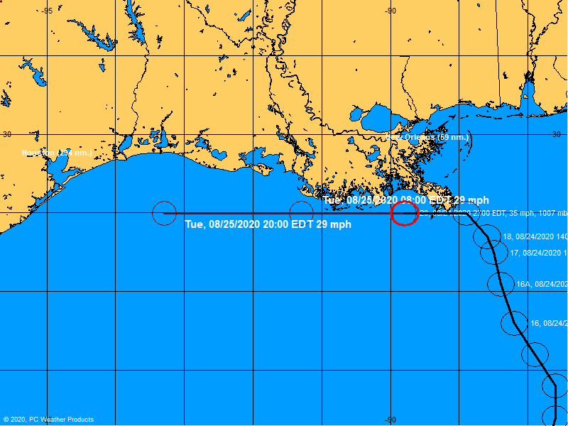
OFFICIAL TRACK

Maria


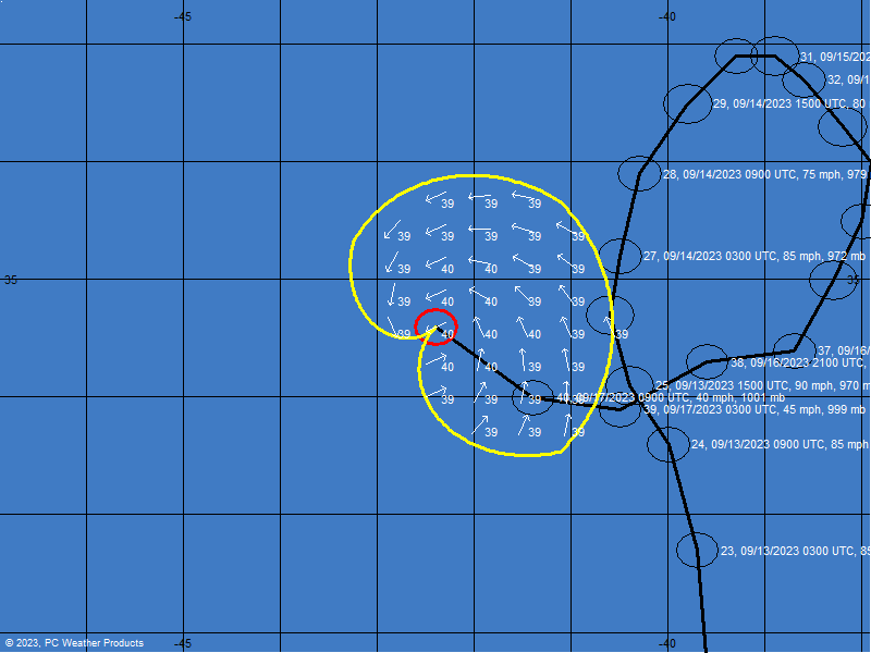
Forecast Wind Bands

Courtesy of:


National Hurricane Center Forecast Advisory


National Hurricane Center Forecast Advisory


National Hurricane Center Discussion


Forecasting Models


Caribbean Sea


Local Radar


Tropical Weather Outlook


Satellite Imagery

alt

Select a map type to view:


Atlantic Wide View (Click Image for Loop)


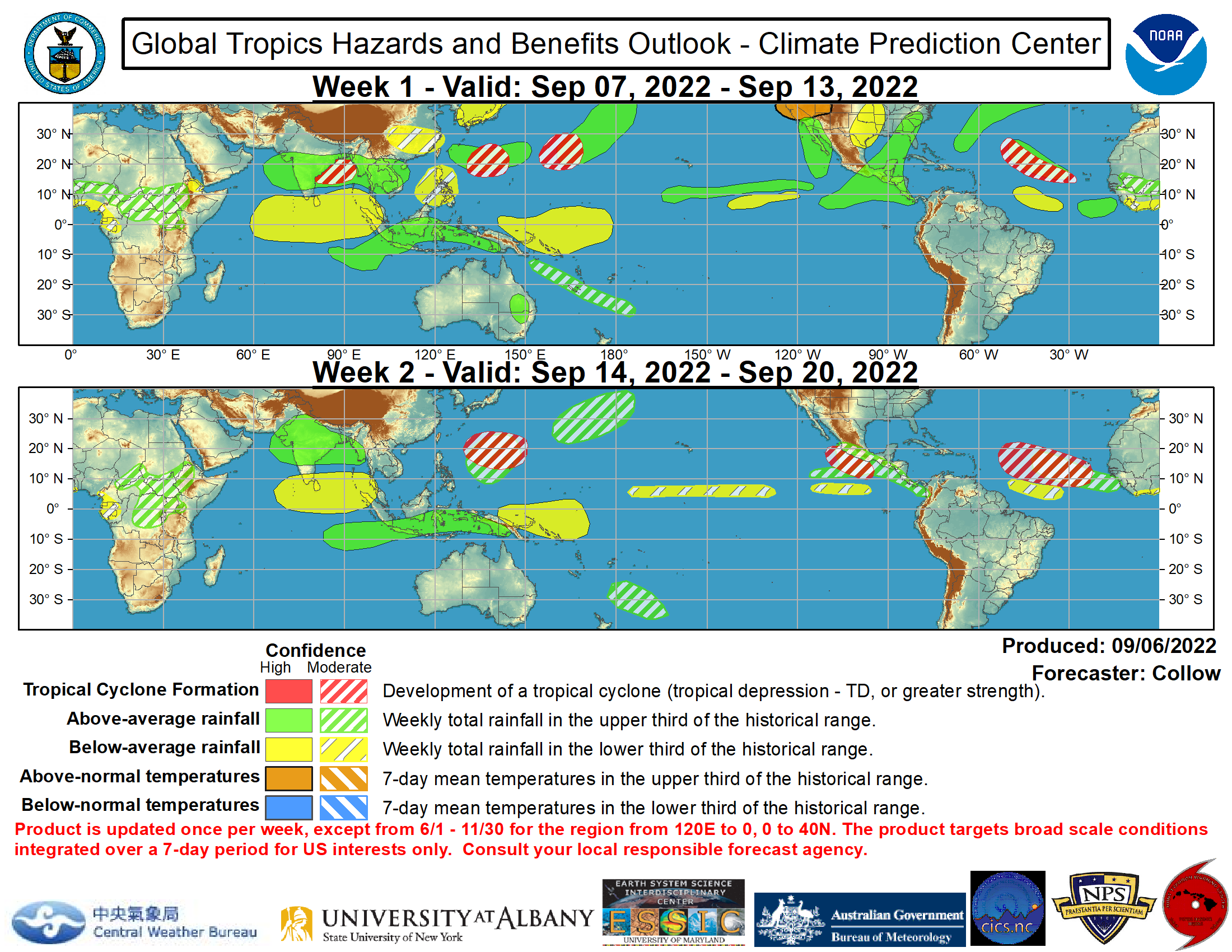
Global Tropics Hazards and Benefits Outlook (Click image for more details)


Saharan Air Layer


Wind Shear Tendency


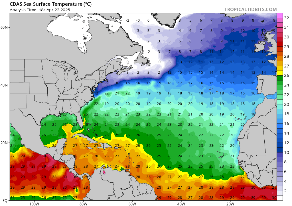
Sea Surface Temperatures
 

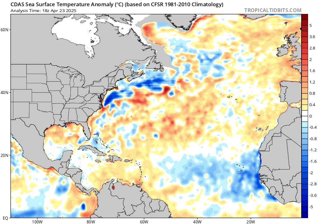
Sea Surface Temperatures Anomalies


Guestbook  


free web stats

Visits since November 23, 2005


Contact © 2017, WeatherPR.com